|
| |
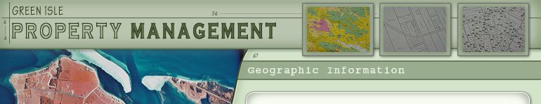
We can provide Prince Edward Island land information including aerial photography, property maps, forest inventory, soils maps and property owner information. GPS mapping and measurements also available.
Aerial photography of Prince Edward Island is available from our office, as well as property maps and landowner information. We have sets of 1994, 1997 and 2000 aerial photography. 1970 as well as 1935 aerial photos are available online. Property records are available real time as well as other relevant data such as soils information and forest inventory. We have a GPS unit for mapping and measurement requirements.
Roseneath, Prince Edward Island
PO Box 30 Georgetown, PE
Canada, C0A 1L0
902-838-3013
www.greenislepei.com
martinus@greenislepei.com
| |
| |
 | |